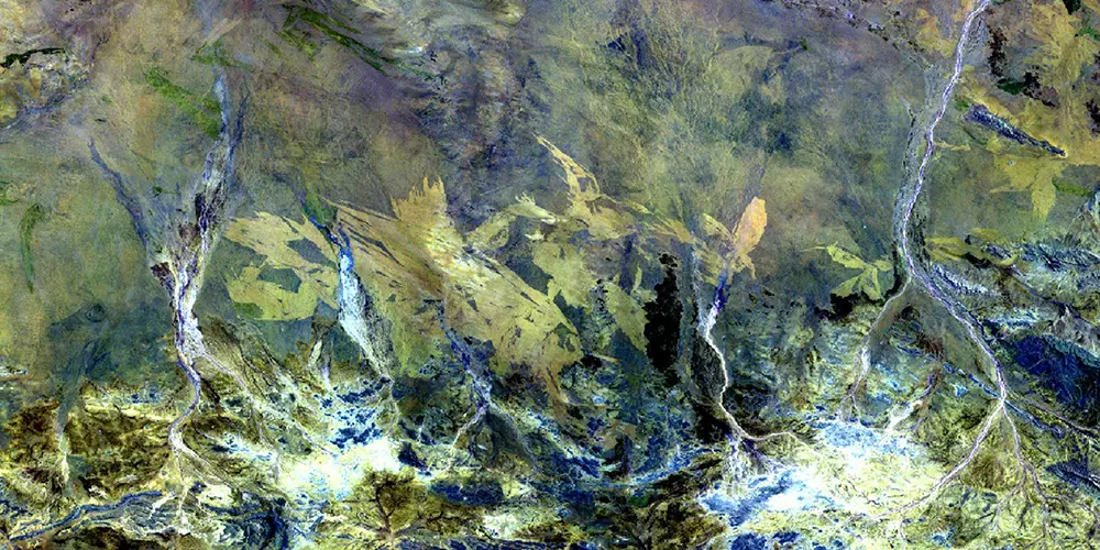
A roadmap for adapting to technological change in remote sensing and monitoring capabilities

Project 3.2 Final Report
Project 3.2 Fact Sheet
Dig Deeper Presentation
Dig Deeper Webinar
Research Program
Operational Solutions
Project Leader
Dr Renee Bartolo
Project ID
3.2
Summary
Key end users among the CRC partners, particularly mining companies, have identified that even though remote sensing and monitoring tools are becoming more widespread their application currently lacks rigor and reliable adoption across the industry. There is a strong desire to have consistent approaches to acquiring, analysing and reporting outcomes, and a roadmap of how to adapt to the rapid technological change in remote sensing and monitoring capabilities. Furthermore, relevant government departments need confidence that outputs resulting from remote sensing are accurate and will sufficiently meet regulatory requirements. This project will provide a ‘State of the Art’ review of remote sensing and monitoring capabilities; establish a basis for developing consistent approaches; and articulate research priorities that leads to transformational change.
Project Partners
Curtin University; Decipher; Fortescue; Newmont Mining Services; Rio Tinto; Roy Hill; University of Queensland; Department for Energy and Mining, South Australian Government; Department of Natural Resources, Mines and Energy, Queensland Government; Department of Water and Environmental Regulation, Western Australian Government; Ecocene P/L (emapper); Geoscience Australia; OZIUS; Golder Associates Pty. Ltd.; Chevron
Duration
7 months – completed
